yubnub.news
Supreme Court Upholds Warrantless Police Entry of Home to Prevent Harm
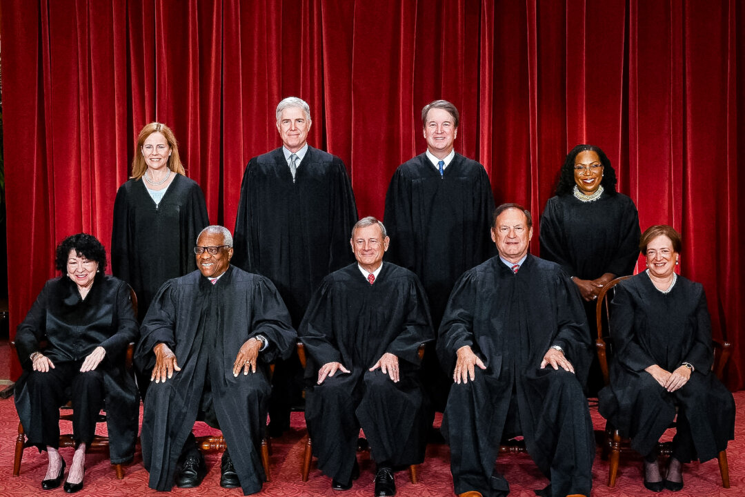
Justices of the U.S. Supreme Court pose for their official photo at the Supreme Court in Washington on Oct. 7, 2022. (Front L–R) Justices Sonia Sotomayor and Clarence Thomas, Chief Justice John Roberts,…